NL
NL
South Limburg combines rolling hills, villages and three countries in one compact route. This driving route takes you past the Three-Country Point, Maastricht, Voeren, Vaals and Aachen, with stops at the American cemetery in Margraten and the marl caves of Sint Pietersberg. A road trip that, thanks to its border location, feels different from the rest of the Netherlands.
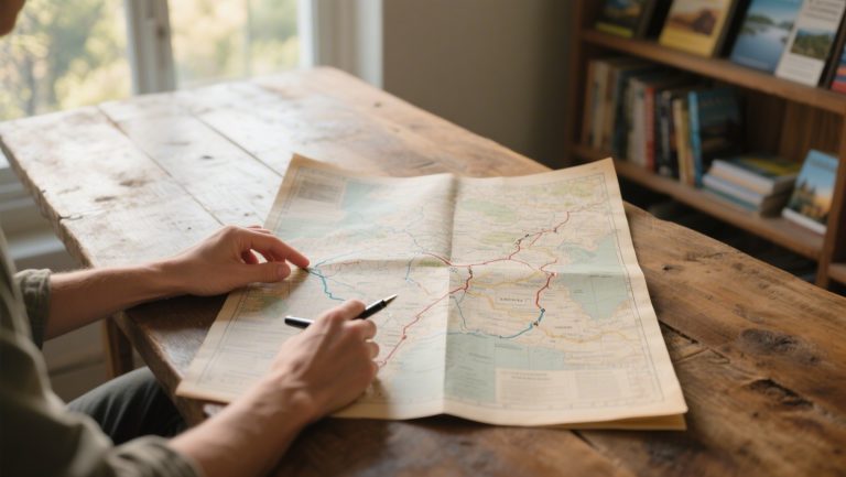
The route lends itself to a day trip or a journey with an overnight stay. You drive through Dutch hill country, Belgian plateaus and German border towns. The road network is short. You see a lot of scenery and villages in a single day. On Traveler Tips you can find more inspiration for driving routes and road trips at home and abroad.
Route via Voeren, Vaals, Aachen and Maastricht
This driving route is around 110 to 120 kilometres long and starts and ends in Maastricht. The route takes you through South Limburg, Belgian Voeren and the German border city of Aachen. Along the way you pass hills, half-timbered houses, orchards and monuments.
The route has several stops. You get out for viewpoints, history or nature reserves. The hilly character regularly gives you varied, far-reaching views. The landscape feels different here than in the rest of the Netherlands, with winding roads and gradients.
Starting point Maastricht
Maastricht serves as the base for this route. The city offers ample parking facilities and is easy to reach from the A2 and A79 motorways. From Maastricht you drive south. The highlights begin.
Three-Country Point and labyrinth at Vaals
One of the first stops is the Three-Country Point at Vaals, where the Netherlands, Belgium and Germany meet. Here you stand at the highest point in the Netherlands, at 322.4 metres above sea level. The point is accessible via a footpath and attracts many visitors because of its symbolic value.
Right next to the Three-Country Point is the labyrinth. This is an extensive maze of hedges and paths. The labyrinth is freely accessible and combines playful fun with views. From this spot you can see Belgium and Germany on either side of the border.
- Highest point in the Netherlands
- Border crossing into Belgium and Germany
- Labyrinth with free access
- Viewing tower with panoramic views
Vaals as a border town
Vaals lies a few kilometres from the Three-Country Point and has a compact centre with shops and restaurants. The town is chiefly known for its position on the border. Tourists visit Vaals to explore the surrounding area. Parking in the centre is possible, but can be busy at weekends.
Aachen for German architecture and history
From Vaals you drive across the border to Aachen, a German city with a rich history. Aachen is known for its Imperial Cathedral. This is a UNESCO World Heritage site dating from the 8th century. The centre is largely car-free, but there are multi-storey car parks around the city centre.
The city combines medieval architecture with modern amenities. The cathedral is free to visit. There is often a collection box for a small donation. Aachen has several terraces and cafés where you can take a break. Thanks to its location in the Euregio, the city feels international.
- UNESCO World Heritage Imperial Cathedral
- Historic centre with half-timbered houses
- Car parks around the centre
- International atmosphere thanks to border location
American cemetery Margraten
Back in the Netherlands, the route continues towards Margraten. Here you will find the largest American military cemetery in Europe. Almost 8,300 American soldiers from the Second World War are laid to rest here. The cemetery is freely accessible and has a visitor centre with information about the fallen.
The grounds are laid out in a strict pattern with white crosses and Stars of David. The area is surrounded by greenery. Thousands of people visit the site every year, especially around days of remembrance. It is an impressive stop that fits the historical context of the region.
Voeren for peace and nature
From Margraten you drive towards Voeren, a Belgian municipality made up of six villages. The area is sparsely populated and has extensive farmland and woodland. Voeren is wedged between Dutch and German territory. It forms an exclave within Belgium.
The tranquillity and open landscape make Voeren a good place for a break. There are several walking routes, but for this driving route a short stop at one of the villages or viewpoints is enough. The infrastructure is limited. Filling stations and larger facilities are scarce.
Sint Pietersberg and marl caves near Maastricht
The route ends at Sint Pietersberg, a hill on the edge of Maastricht. The hill is known for its underground tunnel systems, created by quarrying marl. Guided tours are available in the caves. Book via the operator’s website.
On top of the hill stands Fort Sint Pieter, an 18th-century fortress overlooking the Meuse valley. The fort is open to visitors. It offers a mix of history and panoramic views. The surrounding area is also suitable for short walks along the slopes and through the nature reserve.
- Underground marl caves with guided tours
- Fort Sint Pieter with historic significance
- Views over Maastricht and the Meuse valley
- Nature reserve around the hill
Practical information for the driving route
The route is suitable for a day trip. You can also spread it over two days. That way you can take more time for stops or an overnight stay. Maastricht and Aachen offer plenty of accommodation, from hotels to bed & breakfasts.
Take border crossings into account. Belgium and Germany are both part of the Schengen Area. There are no checks. It is still sensible to take your driving licence and ID card or passport with you. Filling stations are regularly available, but in Voeren and the surrounding countryside they are more scarce.
Best time of year for this route
You can drive the route all year round, but spring and autumn offer the most colour in the landscape. In winter the hills can sometimes be slippery due to snow or black ice. Check the weather conditions. Summer is popular with tourists, and the Three-Country Point and Aachen are busier then.
What makes this route suitable for a road trip
Because of its rolling hills and border location, South Limburg has a different character from other Dutch regions. In one day you drive through three countries. Distances remain short. The mix of nature, history and architecture makes the route varied.
The roads are well maintained and the network is compact. With little driving distance you can make many stops. The route is also suitable for less experienced road-trippers. The stops are clear and you are never far from facilities.
‘ make your next journey even more mindful. ’
Discover more on Traveler Tips
On the Traveler Tips website you will find more inspiration for driving routes and road trips. Looking for tips on planning, regulations or scenic routes at home and abroad? The website helps you prepare your trip better. Explore more articles and make your next journey even more mindful.
Frequently asked questions
The Mergellandroute is considered the most beautiful driving route in South Limburg, with many panoramic views over the hill country and cultural stops in places such as Maastricht, Valkenburg and Vaals (Three-Country Point). The Picturesque South Limburg driving route (around 60 km) also offers fine vistas and combines well with short breaks in characterful villages. The Valkenburg Driving Route (approx. 100 km) combines the rolling landscape with visits to Valkenburg itself and nearby historic towns. For anyone wanting extra culture across the border, the Belgian Border Region Route is an option, linking panoramas in South Limburg with Belgian villages.
Choose one main loop, for example the Mergellandroute (approx. 110–120 km) or a shorter picturesque route around Maastricht (approx. 60 km), so that you can do everything at ease in one day. Plan fixed stops in advance in villages such as Maastricht, Valkenburg and Vaals/Epen for coffee, lunch and short walks, roughly every 60–90 minutes of driving. Start early from a conveniently located base (e.g. Maastricht or Valkenburg) and ideally drive a logical circuit so you don’t have to double back unnecessarily. Avoid rush hours around Maastricht and, if the route is longer, consider spreading it over two days to keep it comfortable.
Along the Mergellandroute you will find lesser-known stops such as small half-timbered villages (e.g. around Gulpen and Epen), quiet viewpoints on the plateaus and hidden chapels or wayside crosses along back roads. Choose two or three of these villages or viewpoints and plan them as fixed break moments (coffee, short walk, photos) instead of only stopping at the well-known hotspots like Maastricht and Vaals. Ideally, pick a shorter route variant (60–100 km) so you have time to spontaneously include an extra side road or village. Use a map or navigation app in “avoid motorways” mode so that smaller roads and rural cut-throughs are automatically incorporated into your route.
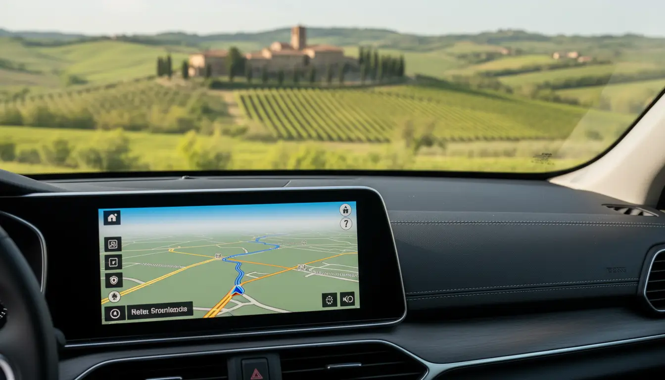
Yes. Try to drive the most popular routes (such as the Mergellandroute) early in the morning or only at the end of the afternoon so you avoid the busiest periods. Avoid weekends and public holidays in peak season; plan your road trip on weekdays instead. Where possible, opt for shorter, less well-known routes or variants of the main routes so you are not stuck behind convoys of tourists. Also use a navigation app with live traffic information to avoid traffic jams and roadworks on the spot.
Pay attention to the availability and location of (fast) charging points along the route and at sights, and plan your stops around them. Where possible, choose accommodation, restaurants and attractions with charging facilities or a clear focus on sustainability (such as a local, seasonal menu). Take the hilly terrain and potentially higher energy consumption into account, especially with smaller batteries. If you are driving a cross-border route, check in advance whether your charging cards also work in Belgium and Germany.